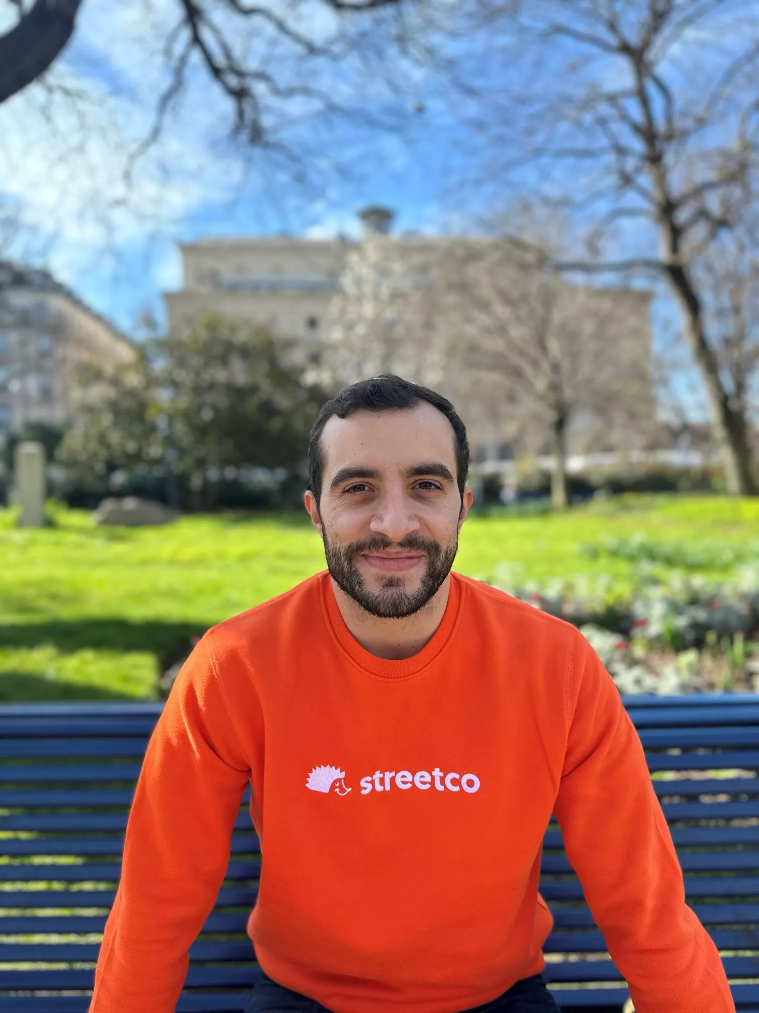
Streetco: an inclusive Waze for pedestrians!
A few years ago, following an accident, Arthur Alba found himself on crutches. It was at this point that he realised how difficult it was to navigate the streets as a pedestrian with reduced mobility. Between roadworks, scaffolding and holes in the pavement, getting around town can sometimes be a challenge for pedestrians with reduced mobility.
Reduced mobility does not only affect people with disabilities, but also senior citizens, parents with pushchairs and travellers with suitcases.
Arthur realised that there were a number of easy-to-use transport solutions available for vehicles, so he began to think about a solution for pedestrians.
Drawing on the successful experience of Waze*, he decided to look at ways of making towns and cities accessible to all, where pedestrians, including those that are fragile or less mobile, can move around safely and without obstacles.

After a period of reflection and discussion to find the right model, Streetco was born. It is a collaborative GPS system for pedestrians, which informs other pedestrians of obstacles encountered in the street in real time.
Following on from Covid, the development of Streetco is gathering pace, with a number of towns and cities embracing the essential idea of making their streets more accessible to all.
Today, more than twenty cities in France and Europe are involved in this project, including the city of Paris, as part of the preparations for the Olympic and Paralympic Games. The aim is to improve accessibility and make it easier for pedestrians with reduced mobility to get around during the period of the Olympics and of course, afterwards as well. The goal is to reach 10,000 reports.
In order to achieve these results, the Streetco team aims to help create communities within cities, made up of local stakeholders, associations, businesses, universities, etc. All contribute to mapping the streets of their city.
Challenges are organised encouraging members of the community to install Streetco on their smartphones and use it as they walk around each day. It can be used both to map the city and to report any obstacles encountered. It is also an opportunity for all citizens to take action with a real social impact, while at the same time, doing something good for themselves by walking more.
Last year, Streetco was also selected for the “Impact Data” programme from 21|, the Red Cross and Nexem social innovation accelerator.
For Arthur, it was an opportunity not only to introduce StreetCo to a wider community, including volunteers, who could help to improve the mapping of the places where they work, but also to encourage other forms of volunteering. By using this application while walking, you are helping to create a city that is more accessible to people with disabilities.
A challenge has been organised within the national Red Cross community, made up of volunteers, employees and students, encouraging them to report as many obstacles as possible in their cities. And to top it all off, the challenge supports a fund that will be used to offer tickets to the Olympic Games to young people from the French Red Cross' medical education centres (IME).
Today, Arthur and the IHL (International Humanitarian Law) team at the French Red Cross are working on a version of Streetco for use in conflict zones. Towns in these areas are littered with explosive devices, and this mapping and reporting work could save many lives.

*Waze is a real-time navigation application that uses data from tens of millions of drivers around the world. A host of features help users travel safely on their daily journeys: GPS navigation, live traffic information, precise estimates of arrival times and numerous real-time safety alerts such as roadworks, accidents, potholes and more.
[Translation : NSS EPALE France]


